mNo edit summary |
m (Add location, which is similar to biome.) |
||
| Line 8: | Line 8: | ||
|type = |
|type = |
||
|coordinates = |
|coordinates = |
||
| + | |location = Diersville |
||
| − | |biome = |
+ | |biome = Plains, Forest |
|navezgane = Y |
|navezgane = Y |
||
|confirmed_version = Alpha 15 |
|confirmed_version = Alpha 15 |
||
Revision as of 02:12, 28 February 2017
You can help 7 Days to Die Wiki by expanding it.
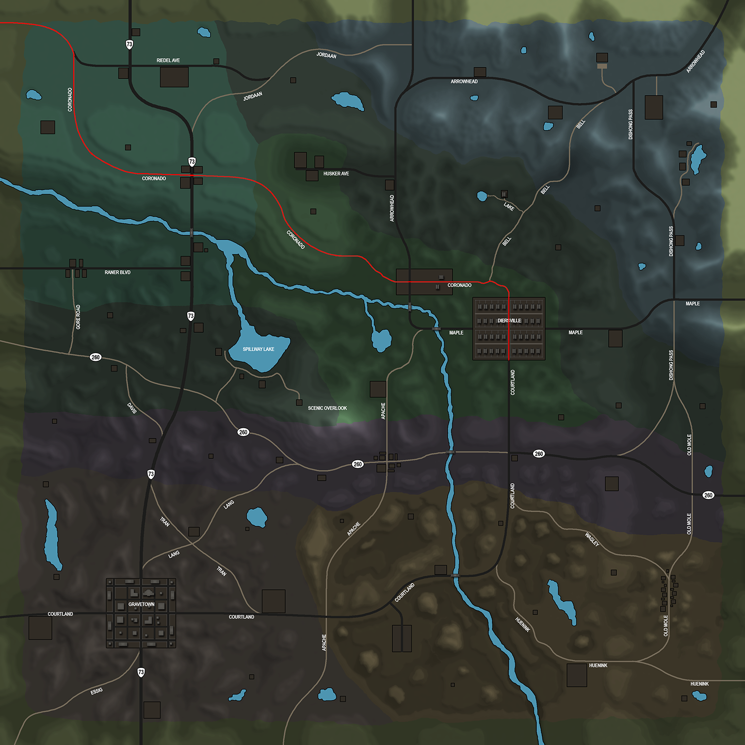
| Coronado Rd | |
|---|---|
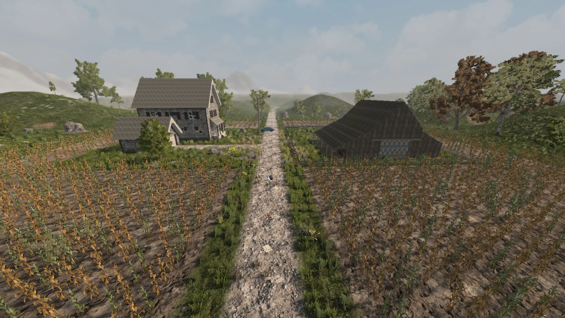 The Farm that exists on Coronado Rd | |
| Description | |
| Category | Street |
| Locations | Diersville
|
| Game Worlds
| |
| Navezgane | Yes |
Coronado Rd is a road that enters by the north west and descends south east. One of the Army Recon Camps can be found at the very north of the road, on the west side. At the junction point of Highway 73 and Coronado Rd a small settlement is located. Later Coronado Rd runs through the Farm and meets with Bell Rd before it runs south to Diersville. From Diersville on runs the Courtland St south.
Location[ | ]
Coronado Rds location in Navezgane